3D modeling carried out by drones is essential for global field studies.
Drones play a crucial role in predictive maintenance of wind and solar installations, thermal analysis of buildings, and 3D modeling for global studies. They help optimize performance, energy efficiency and project planning, while reducing costs and risks.
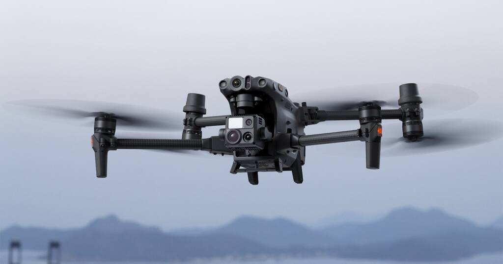
Equipped with cameras and Lidar sensors, drones collect geospatial data by flying over an area. This data includes images, point clouds and topographical information.
The data is used to reconstruct accurate 3D models of the terrain, buildings and natural environment.
The resulting 3D models enable more precise planning of projects, whether urban development, civil engineering or environmental management and can be used to visualize future projects, simulate scenarios and evaluate the environmental impact.
| Geospatial Data Acquisition | 3D reconstruction | Planning and Analysis | Visualization and Simulation | Precision and Efficiency |
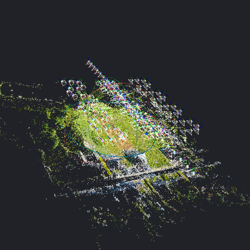
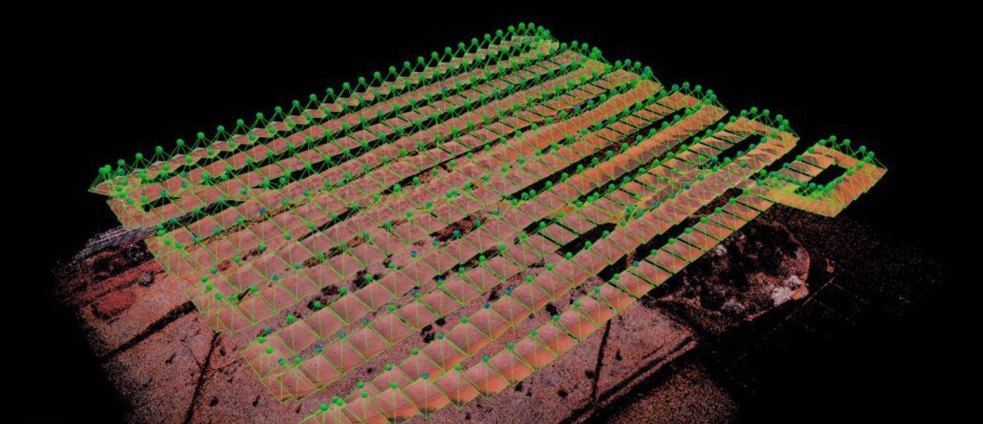
Photogrammetry mission
3D reconstruction
Our photogrammetry service uses drones equipped with state-of-the-art sensors to capture high-resolution aerial images and create precise 3D models of your land, building or infrastructure. Whether you are in construction, urban planning, agriculture or environmental management, our service offers unrivalled benefits in terms of planning, project monitoring and informed decision-making.